Dallas Floodway Extension Recreation Design
Dallas, Texas

Overview
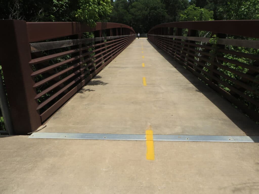
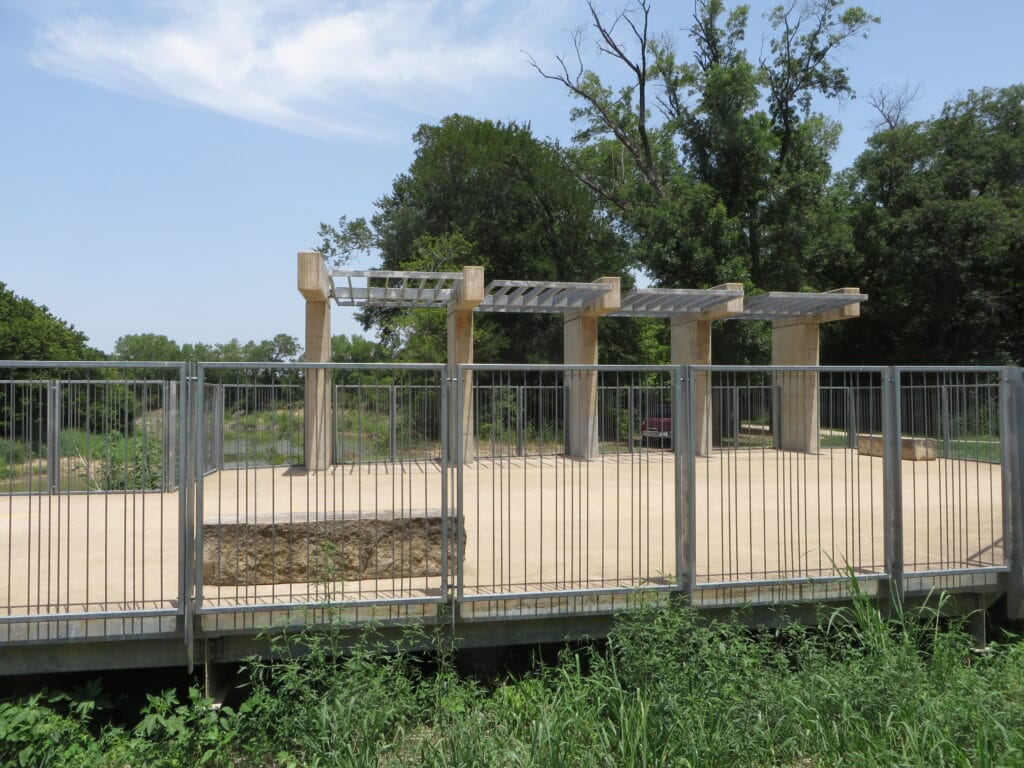
In 2020, MSMM Engineering was tasked by the United States Army Corps of Engineers (USACE) Ft. Worth District to design various recreational, roadway, and bridge features for a public recreational park in South Dallas. This project involved the planning and design of various recreational components on a former golf course in South Dallas. The trail system and bridge features were designed for the United States Army Corps of Engineers (USACE) Ft. Worth District in support of the City of Dallas. The Dallas Floodway extension project consisted of various access routes, walking/vehicular trails, bridges, boardwalks, and platforms. The project provided recreational access to a chain of wetlands designed to provide unimpeded overflow for floodwater along the west side of the Trinity River from the Dallas Floodway to Loop 122. The project continues an overall master planning effort to provide recreational access across Dallas with uninterrupted access. This project provided another 12-miles of multi-use trails, additional parking lots at major trail connection points, three additional bridges, including one larger bridge across the Trinity River, an elevated boardwalk trail for access across a low-lying marshy area, and new birdwatching platforms in the previously created wetlands. The design team also added public safety features including culverting for water distribution, locked gates, and pipe rail fences for the City of Dallas to manage public access, site lighting in the added parking lots, and site signage at the access points for time periods where the recreational areas are flooded, and public access is restricted. Benches were also added at scenic overlooks, wildflower areas and for views of the wetlands.
MSMM provided full engineering services to the USACE, including schematic design, preliminary design, and final design. The scope of work included the development of plans and specifications for three (3) bridge crossings, one over the Elam Creek (60 feet), one over the chain of wetlands, and a larger crossing over the Trinity River (150 feet). Additionally, the design package consists of over 10 miles of 12-ft wide multi-use roadway (trail) for vehicular/walking trail access, the restoration of parking lots at trail heads, the inclusion of pipe rail fences and gates to prevent after-hour access, and the design of bird watching platforms over the wetlands. MSMM performed H&H modeling of the Trinity River to help aid in the bridge design process. All roadway/bridges consist of a single lane and were designed to contain the load of school buses/emergency vehicles. Additionally, our team performed detailed cost estimating utilizing MCACES. We also provided design and project schedules utilizing the Primavera suite of scheduling services.

